
Branstree
Height 2339 feet/713metres
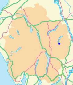
Grid Reference NY 478 100
Area
Birkett - Eastern Fells, Branstree Group - Top No. 130
Wainwright - The Far Eastern Fells
Nuttall - Lake District, Far Eastern Fells: Walk 7.4
Hewitt - Region 34C: Eastern Fells
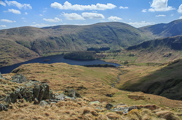
Branstree from the slopes of Low Raise.
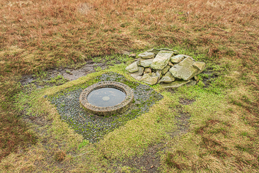
The sunken trig and cairn that mark Branstree's summit.
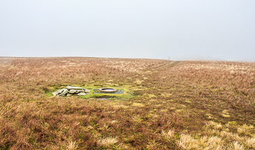
Branstree's summit lost in low cloud.
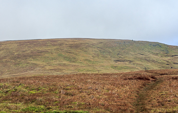
Looking towards Branstree from High Howes.
Lay-by Haweswater Road - Corpse Road - Brown Howe - Mardale (394) - Selside Pike (395) - High Howes - Mardale (396) - Branstree (397) - Gatescarth Pass - Mardale Head - Lay-by Haweswater Road
All pictures copyright © Peak Walker 2021
©Crown copyright. All rights reserved. Licence number 100045184.